

The Lycian Way is a 760 km long-distance walking route in southwestern Turkey, running from Ölüdeniz near Fethiye to Geyikbayırı near Antalya. Near Fethiye, its traditional western starting area is Ovacık, with sections continuing through Kayaköy, Ölüdeniz, Faralya and Kabak.
- Traditional starting area: Ovacık, above Ölüdeniz.
- A shorter section to consider: Ovacık to Ölüdeniz, approximately 10 km.
- Route planning: the Culture Routes Society provides an interactive map and route information.
Where the Lycian Way meets the Fethiye area
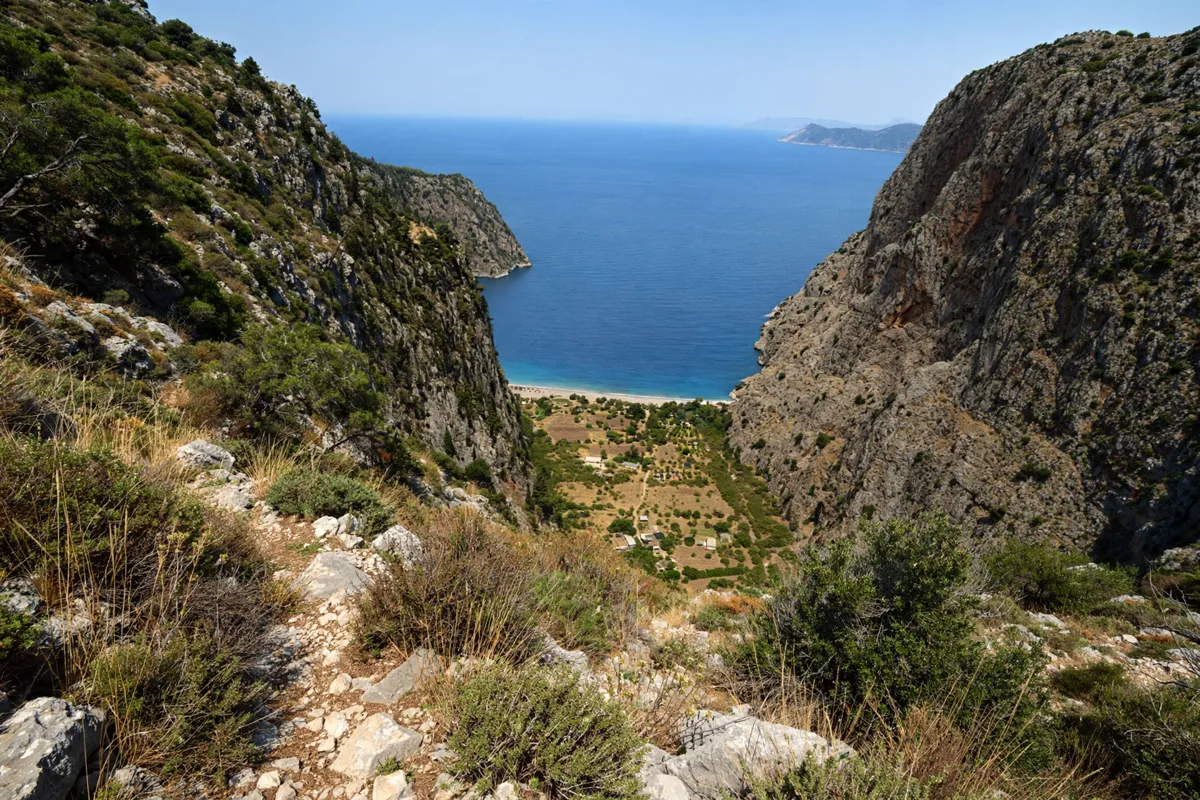
The Lycian Way’s traditional western starting area is Ovacık, above Ölüdeniz in Fethiye district. From there, the route continues through Kayaköy, Ölüdeniz, Faralya and Kabak, connecting inland paths with coastal landscapes on the Teke Peninsula.
The route was formed by mapping paths across the peninsula between Fethiye and Antalya. Near Fethiye, Butterfly Valley, Faralya and Kabak Bay are among the landmarks along the western section. The walk between Ölüdeniz and Faralya follows the area above Butterfly Valley; it does not descend to the valley floor.
The valley floor is reached by boat from Ölüdeniz, while the Lycian Way passes above it.
Choosing a manageable section
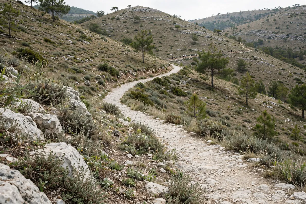
Ovacık to Ölüdeniz is a section to consider if you want a defined starting point and a route of approximately 10 km. The waymarked trailhead is near the village muhtarlık, the local administrative office. These route details come from guide information rather than a government trail specification.
The Fethiye-to-Ölüdeniz walk includes a limestone descent, and some wayfinding can be ambiguous. Carrying a GPX track can help with navigation on that section. For either option, use route information to choose a walk that suits the time and conditions you have, rather than treating the full long-distance trail as one outing.
Faralya and Kabak extend the route beyond Ölüdeniz. The trail between Ölüdeniz and Faralya stays above Butterfly Valley, and the route continues toward Kabak. You can plan those places as route destinations, but do not mistake the path above the valley for a descent to its floor.
For a coastal outing that is not a hike, this guide to beaches in Fethiye compares places to swim.
How do you get from Fethiye to the Lycian Way?
Public transport can connect Fethiye with the route’s western starting area and nearby villages, but check current services before choosing a trailhead. Ölüdeniz minibuses departing outside Fethiye bus station pass the Lycian Way start.
Line 3-40 runs between Fethiye and Ölüdeniz via Ovacık and Hisarönü. MUTTAŞ’s public bus line 3-42 runs between Fethiye, Faralya and Kabak. Check the published timetable for your travel date; services and departure details are practical parts of your route plan.
MUTTAŞ says vehicles in its municipal and supervised private public-transport fleet are suitable for disabled access. That does not establish that every departure on line 3-42 uses an accessible vehicle, so confirm the specific service if accessibility is important to your plans.
The Lycian Way is about 44 minutes on foot or 8 minutes by car from Hotel Doruk, a three-star hotel.
Dalaman International Airport is the airport covered in this guide to getting from Dalaman Airport to Fethiye.
If you are considering the village route as well as the trail, this guide to visiting Kayaköy from Fethiye covers the settlement.
Terrain, weather and safety
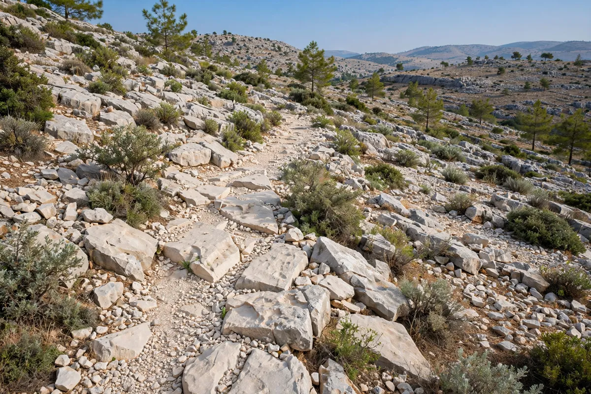
The Fethiye-to-Ölüdeniz walk includes a limestone descent. Separately, the path from the Butterfly Valley rim to the valley floor is steep, exposed and rope-assisted. That descent is distinct from the Lycian Way section above the valley, so do not assume the main route takes you down to the water.
Conditions can change along the trail. Check the Culture Routes Society’s route-update information and ask locally about conditions before walking. Check the Turkish State Meteorological Service forecast and current local authority notices for the Fethiye-area route and date you have in mind; there is no single official live Lycian Way trail-condition bulletin.
What to check before walking
Before setting out, match your chosen section to current route information and transport arrangements. The Culture Routes Society offers an interactive map and route information, while route updates can help you check for changing trail conditions. For sections where wayfinding may be ambiguous, a GPX track is recommended by a route guide.
Check the relevant bus timetable for your travel date if you plan to use line 3-42, and confirm local transport details for other services. For weather and local notices, use the official sources named above. Check the official site before you go.
FAQs
Where does the Lycian Way start near Fethiye?
Its traditional western starting area is Ovacık, above Ölüdeniz in Fethiye district. The waymarked trailhead is near the village muhtarlık.
How long is the Ovacık-to-Ölüdeniz section?
The Ovacık-to-Ölüdeniz section is approximately 10 km. This is guide information, not a government trail specification.
Does the Lycian Way descend into Butterfly Valley?
The section between Ölüdeniz and Faralya follows the area above Butterfly Valley and does not reach the valley floor. The valley floor is accessed by boat from Ölüdeniz.
Which bus serves Faralya and Kabak?
Public bus line 3-42 runs between Fethiye, Faralya and Kabak. Check the published timetable for your travel date.